Surface Analysis
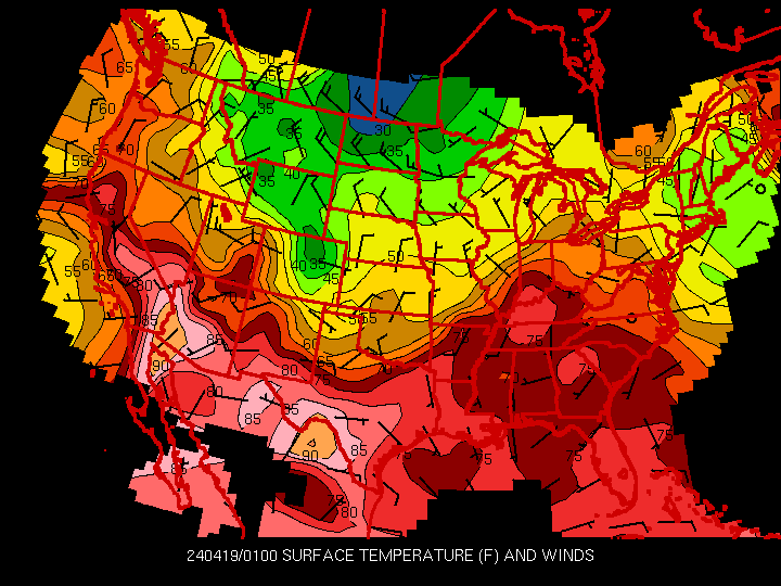
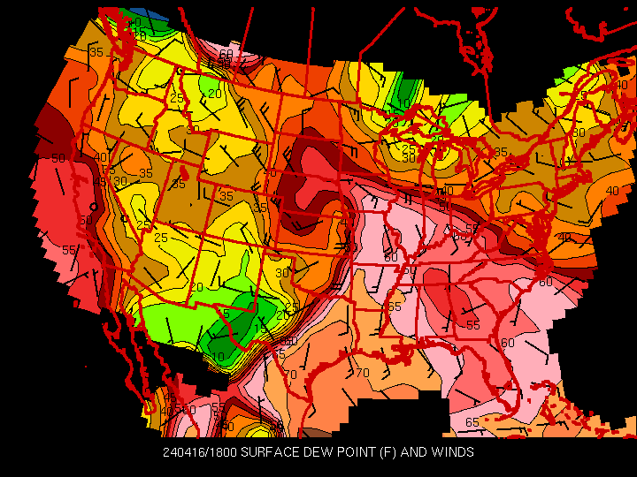
Surface maps display various surface parameters such as pressure, temperature, and dewpoint temperature. Lows, highs, and fronts are drawn on some maps to indicate varying surface conditions. These can be used to track areas of low pressure (usually producing cloudiness and precipitation) and high pressure (usually clearer weather).Iowa State Surface Maps
(back to forecast help page)