 Forecasting for MT206

Enter Your Forecast
Login to
your ClassNet class and
Complete the Forecast assignment.
 Weather Products
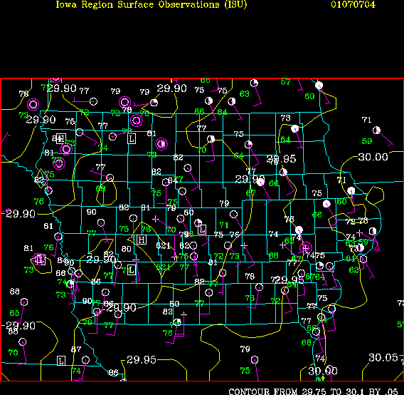
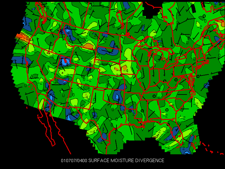
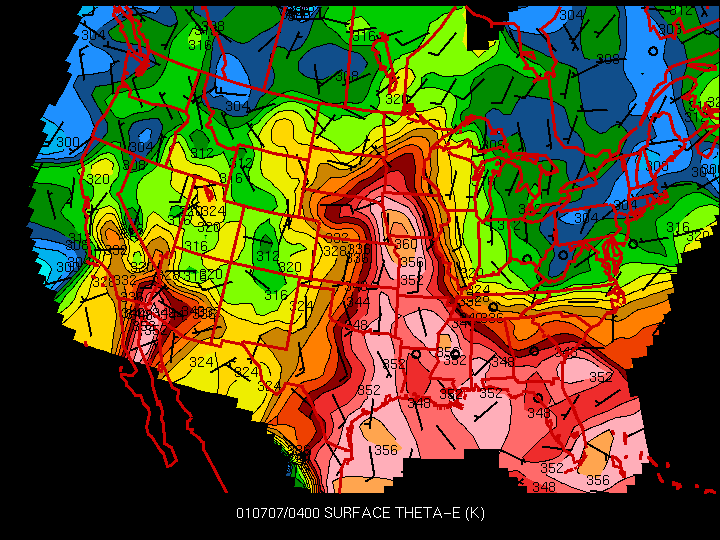
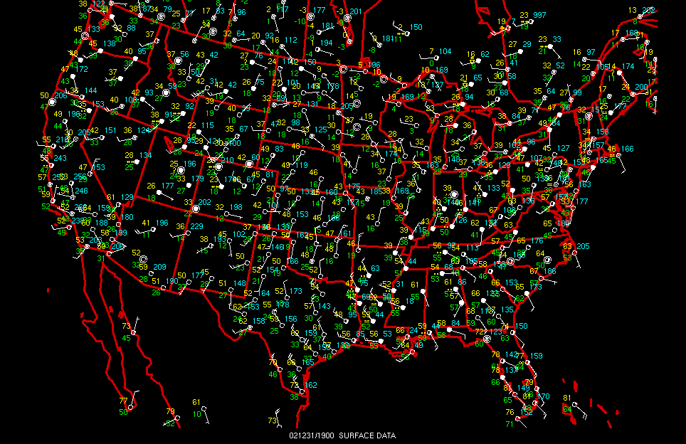
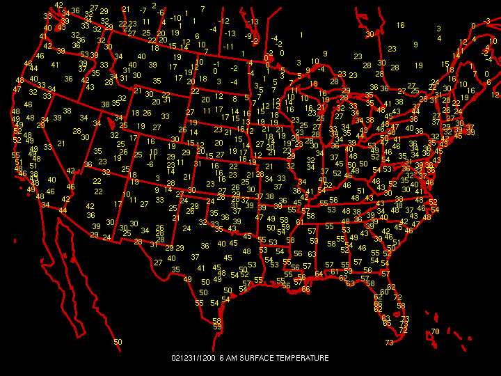
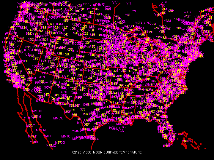
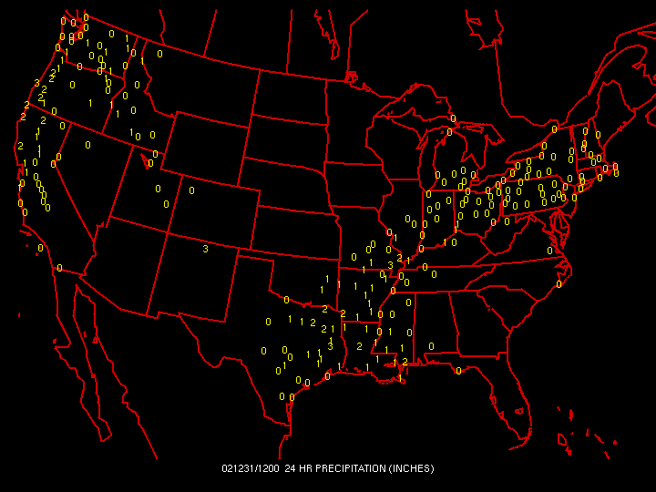
U. S. Weather Observations
DIFAX IMAGES (ISU only)
DSM NEXRAD Images (ISU only)
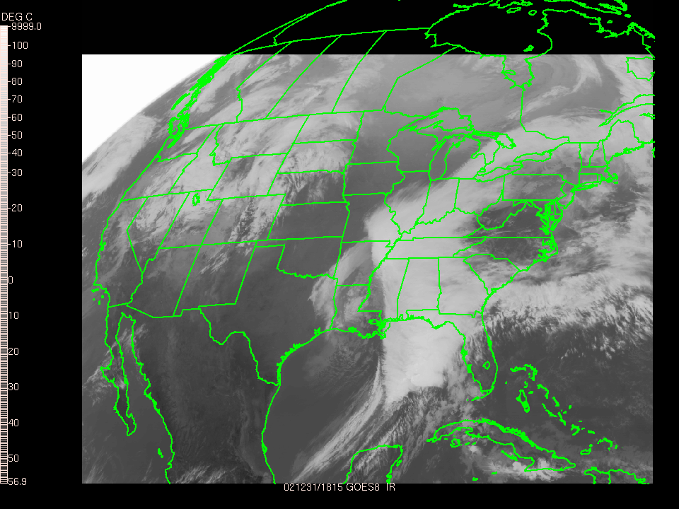
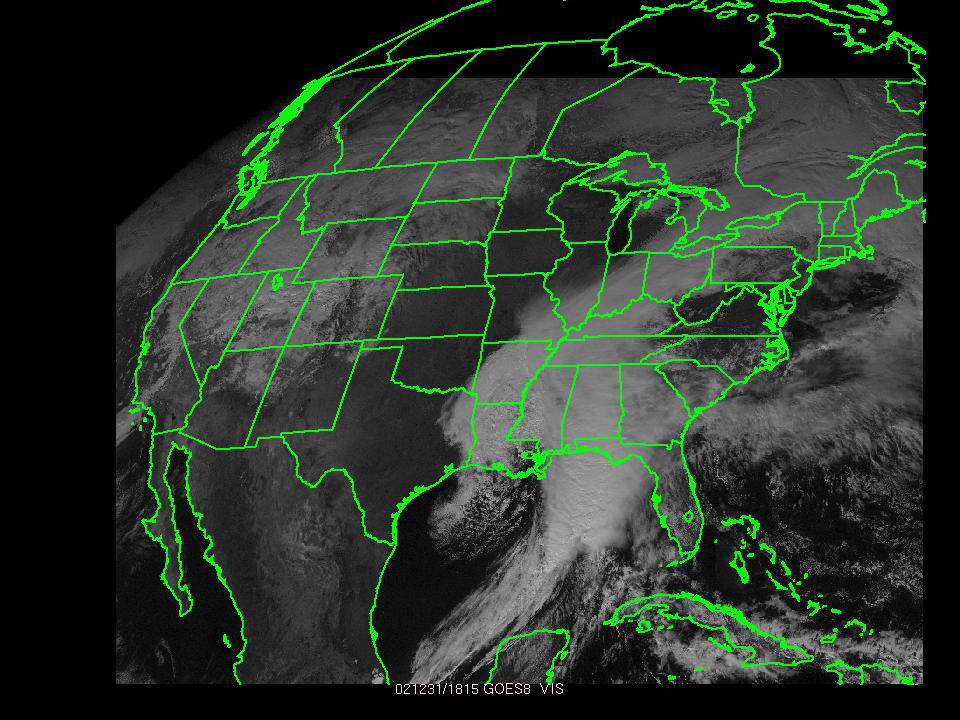
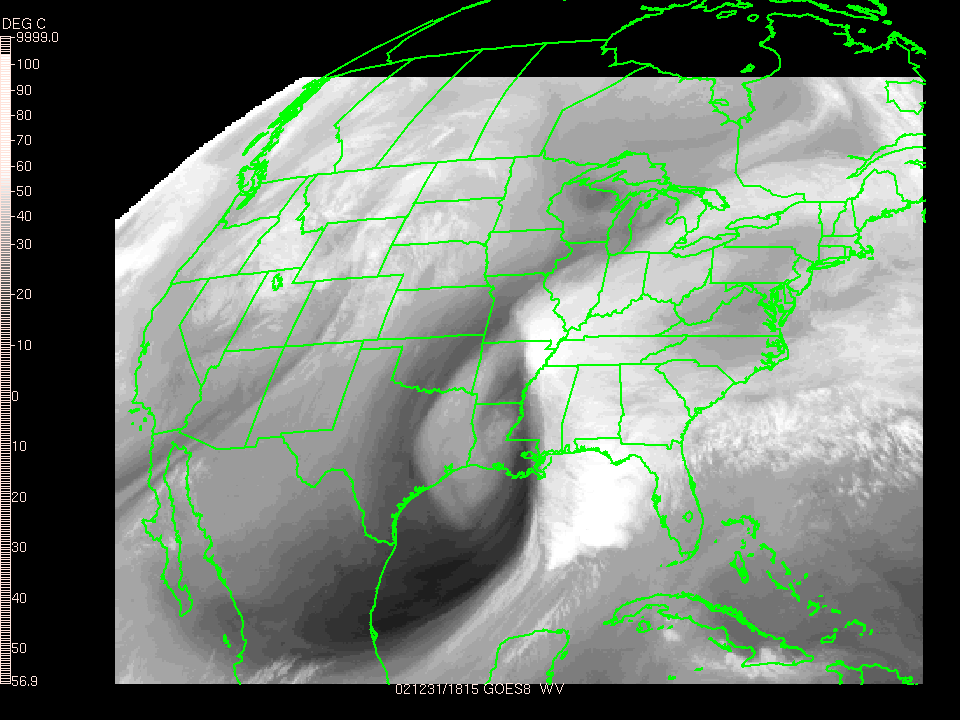
U.S. Satellite Images
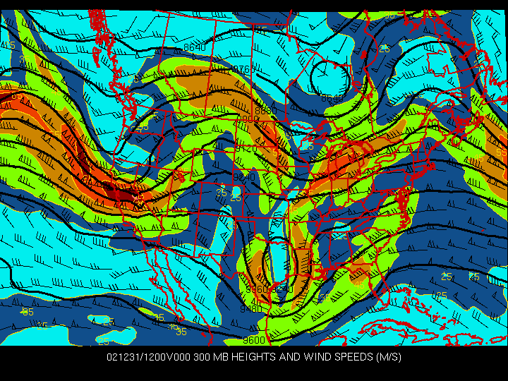
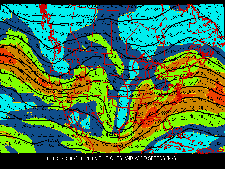
U.S. Upper Air Analysis
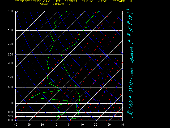
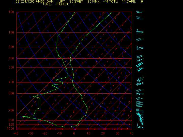
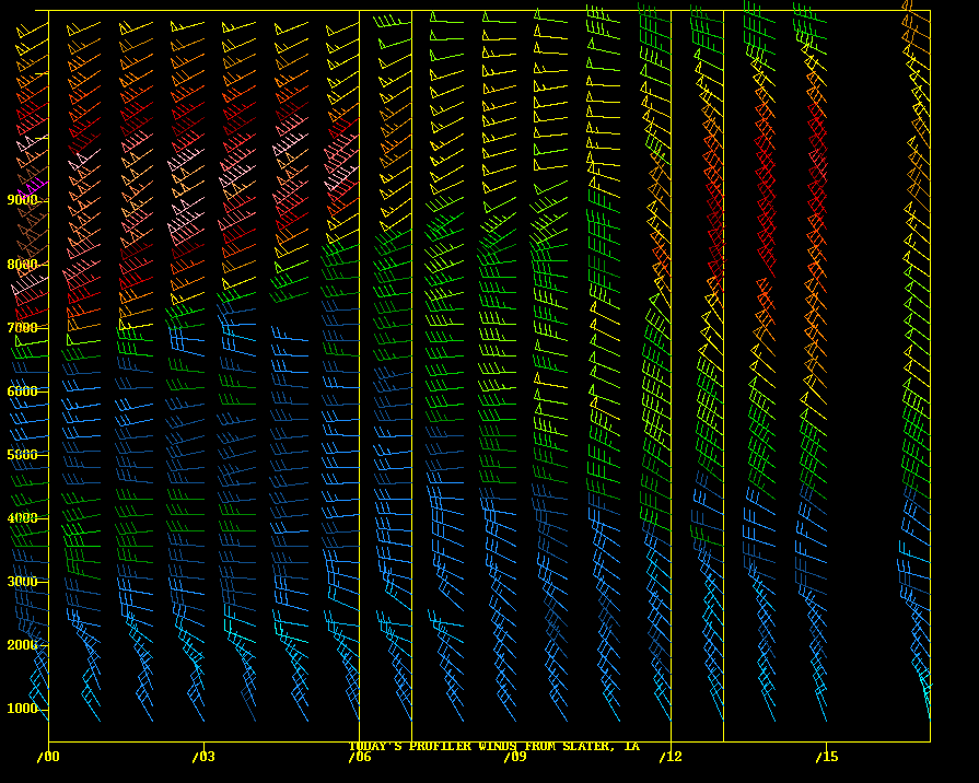
U.S. Upper Air Profiles
U.S. Surface Progs
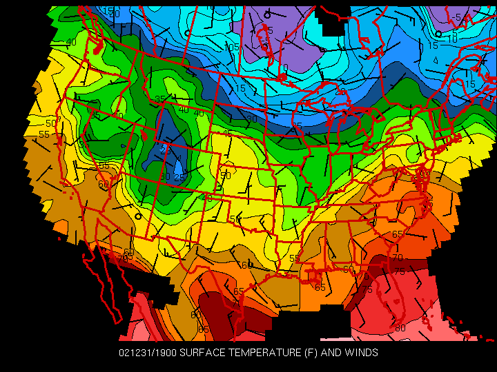
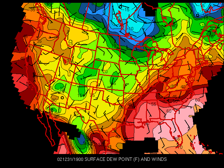
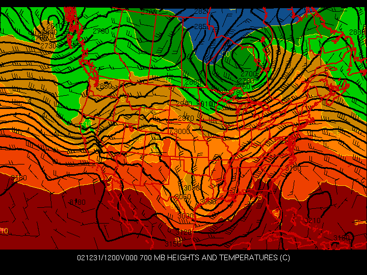
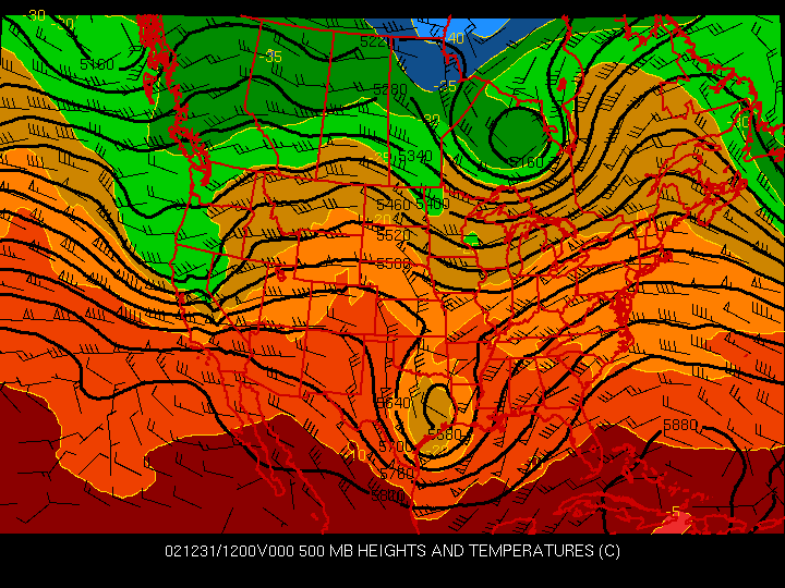
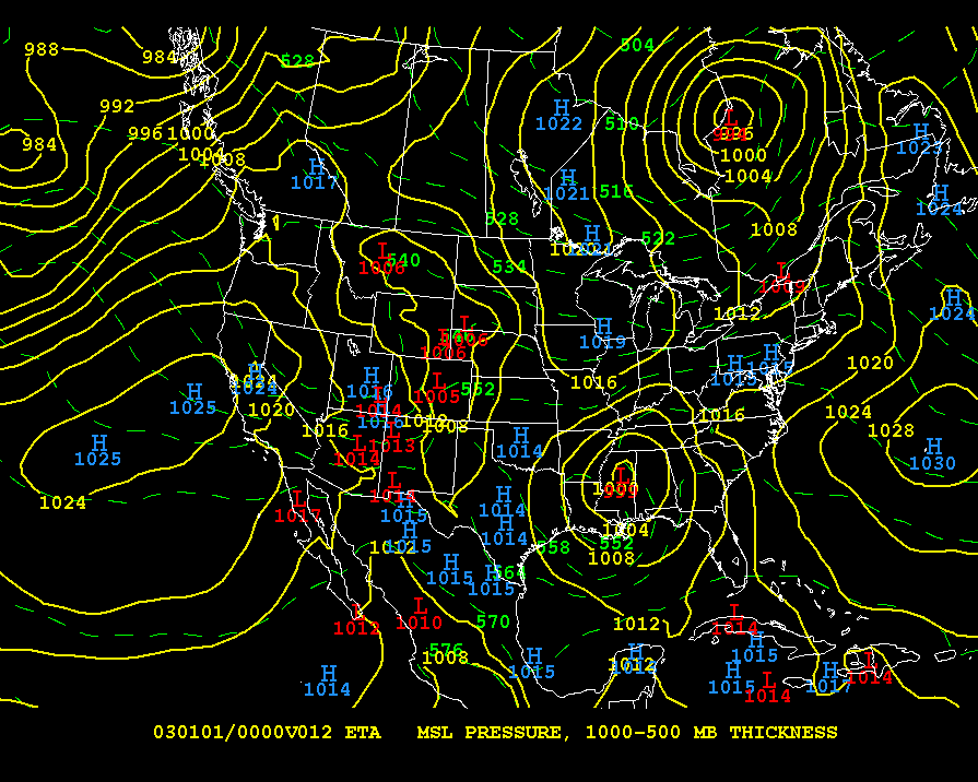
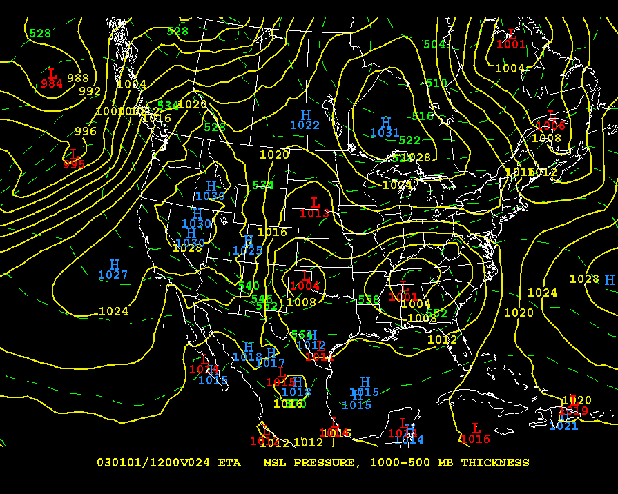
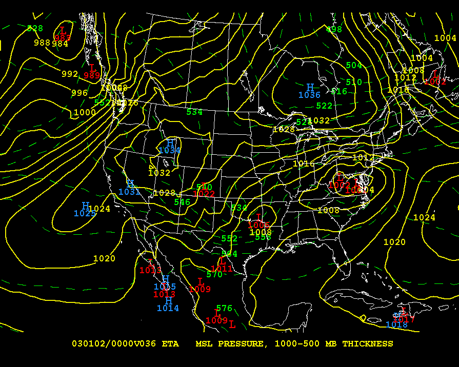
U.S. Model Forecasts
- 12-hour ETA pressure & thickness
- 24-hour ETA pressure & thickness
- 36-hour ETA pressure & thickness
- 48-hour ETA pressure & thickness
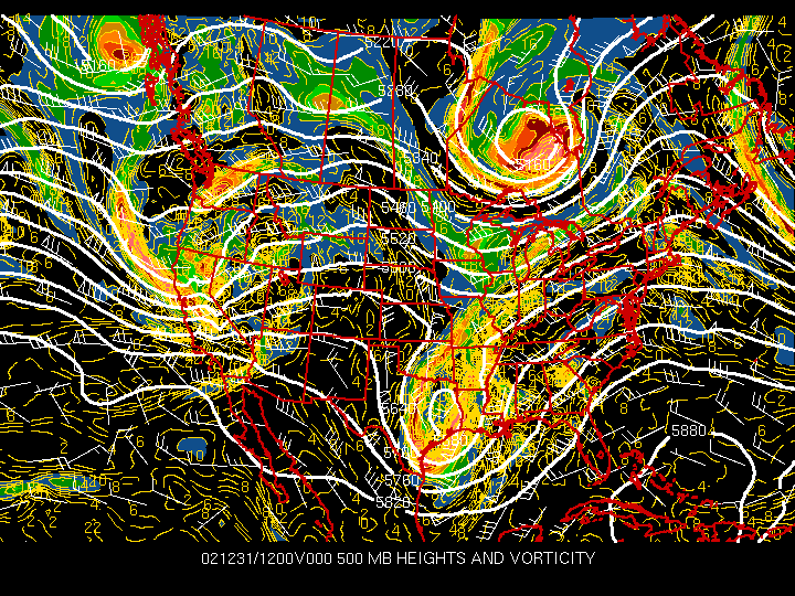
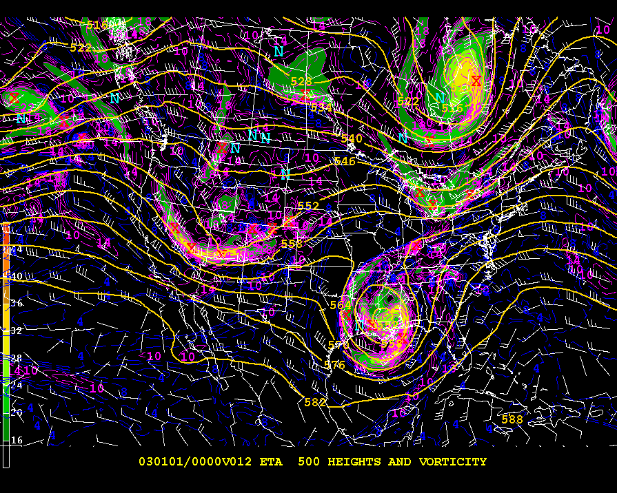
- 12-hour ETA 500 mb heights and vorticity
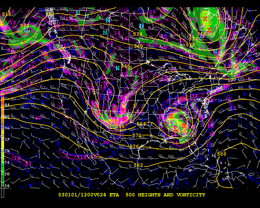
- 24-hour ETA 500 mb heights and vorticity
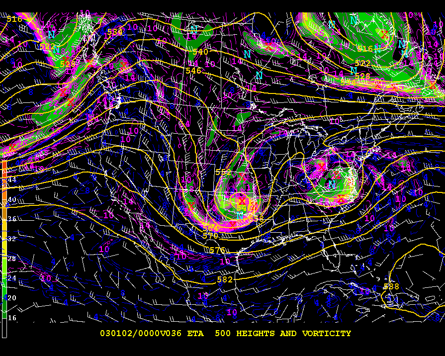
- 36-hour ETA 500 mb heights and vorticity
- 48-hour ETA 500 mb heights and vorticity
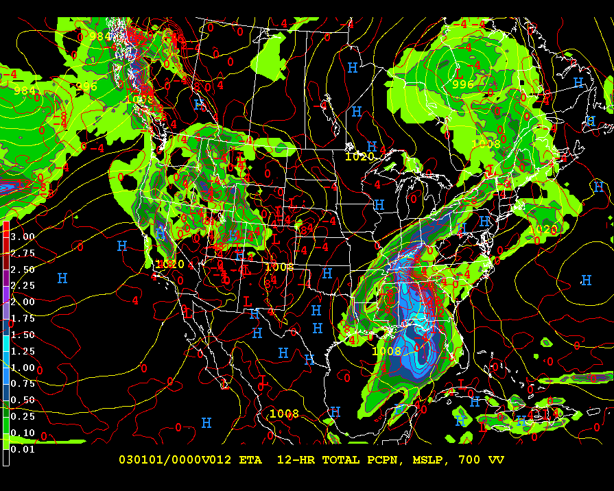
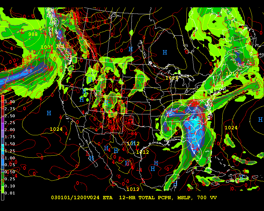
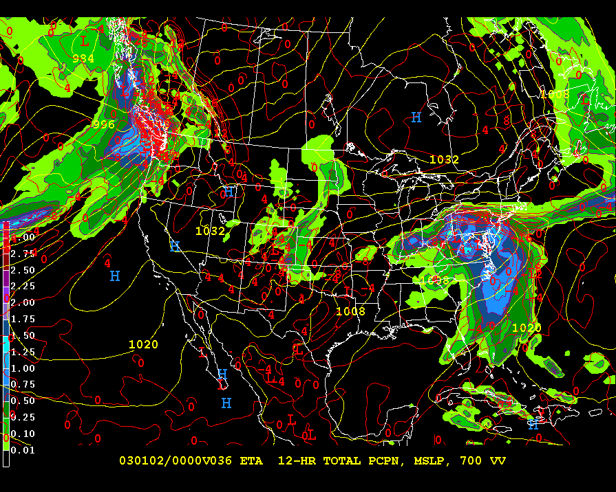
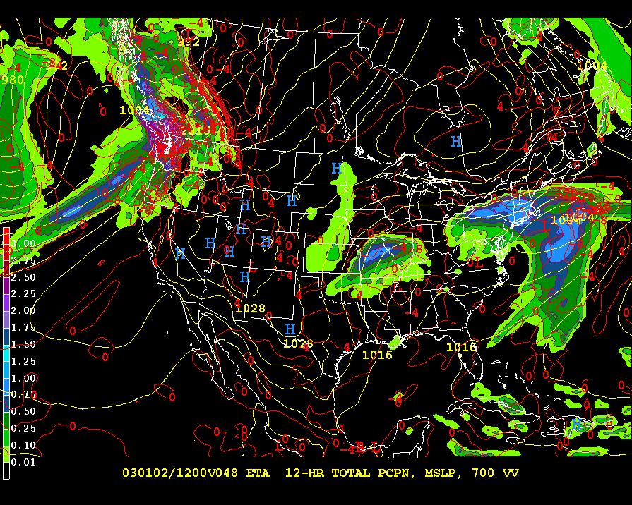
- 00-12-hour ETA forecast precip
- 12-24-hour ETA forecast precip
- 24-36-hour ETA forecast precip
- 36-48-hour ETA forecast precip
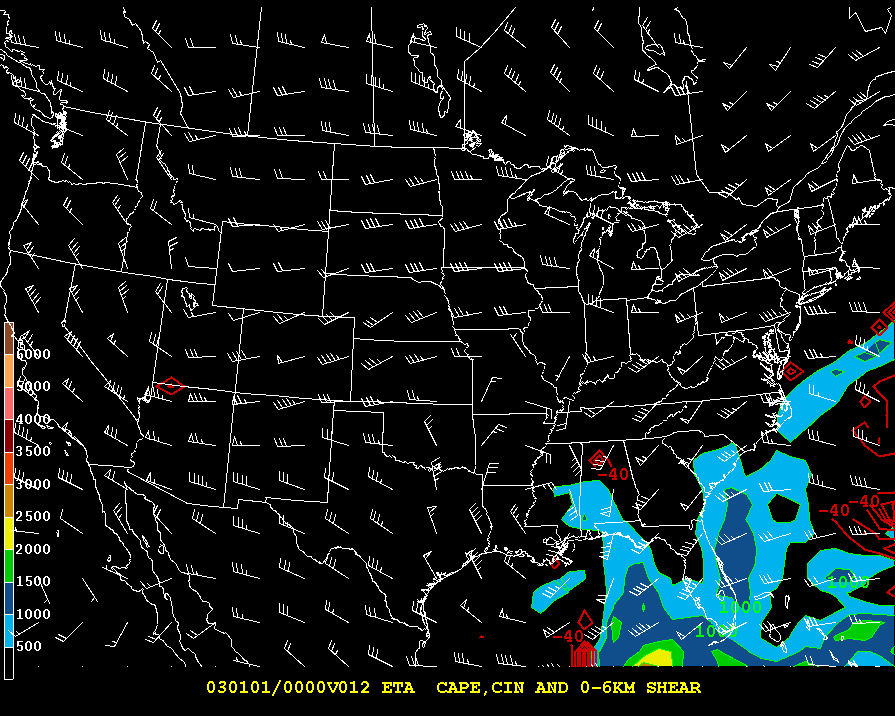
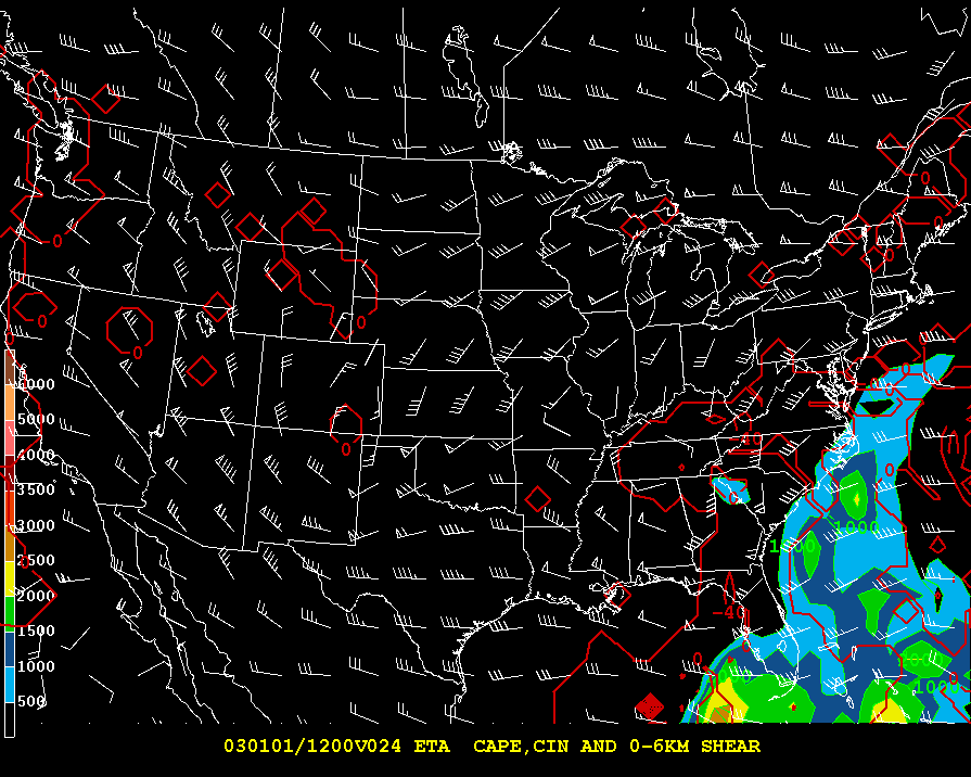
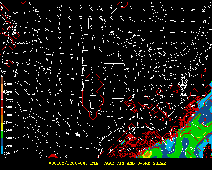
- 12-hour ETA CAPE, CIN, and 850 Winds
- 24-hour ETA CAPE, CIN, and 850 Winds
- 36-hour ETA CAPE, CIN, and 850 Winds
- 48-hour ETA CAPE, CIN, and 850 Winds
CAPE is a measure of strength of storms (Higher CAPE-stronger storms)
CIN measures inhibition of storms (more negative-less chance of storms)
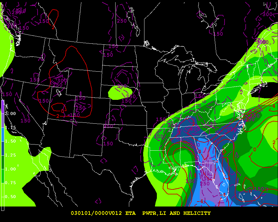
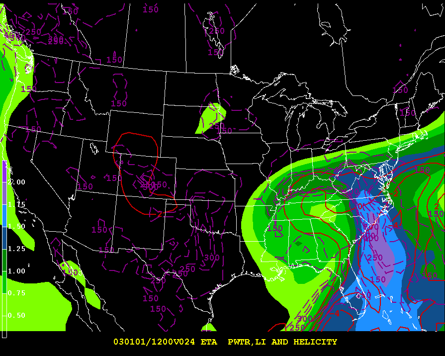
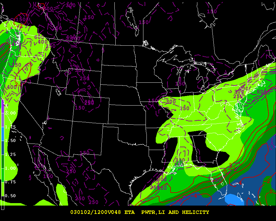
- 12-hour ETA PWAT, LI, and HELICITY
- 24-hour ETA PWAT, LI, and HELICITY
- 36-hour ETA PWAT, LI, and HELICITY
- 48-hour ETA PWAT, LI, and HELICITY
PWAT is a measure of precipitable water available to a storm
LI is another measure of storm severity (more negative-more severe)
Helicity depicts possible tornadic conditions (higher helicity-better tornado chance)
- 12-hour temperature
- 24-hour temperature
- 36-hour temperature
- 48-hour temperature
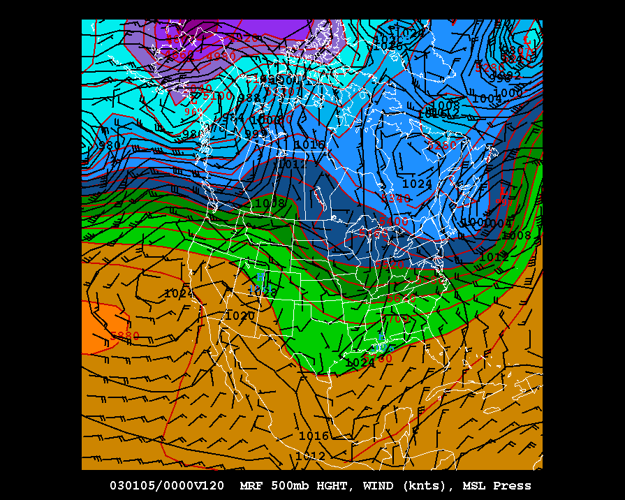
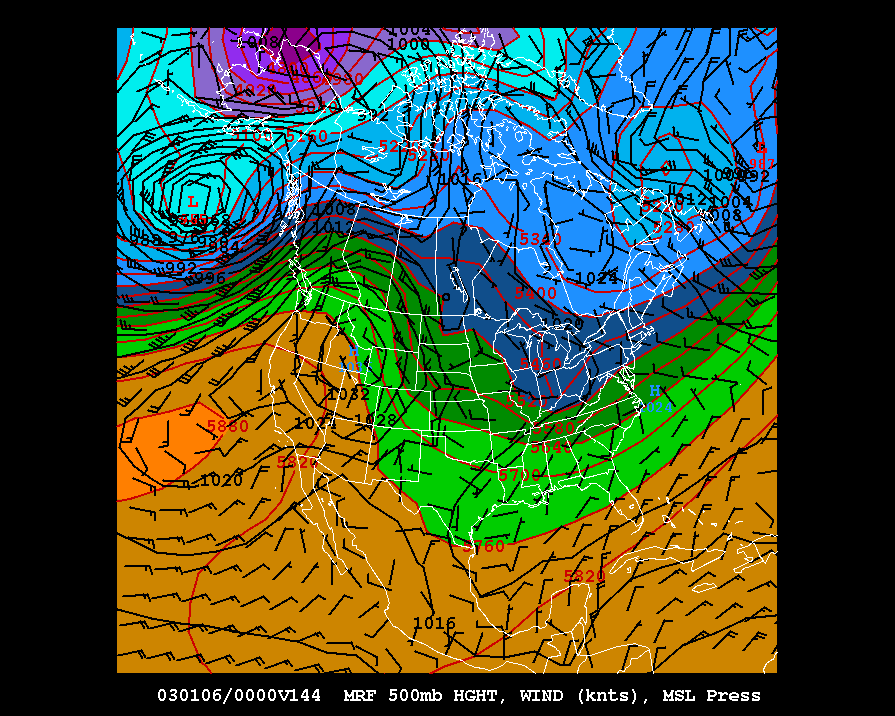
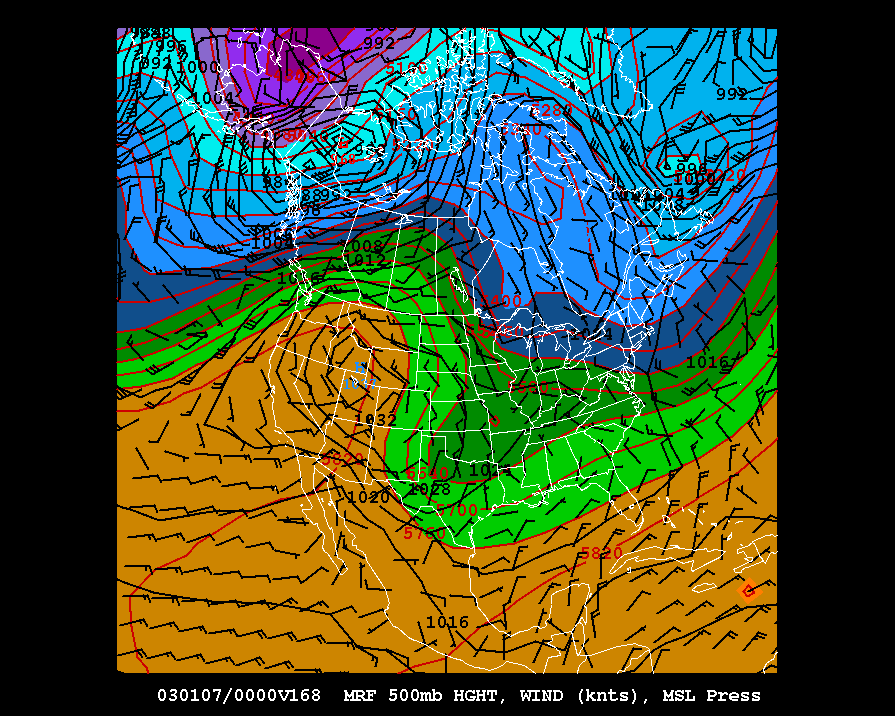
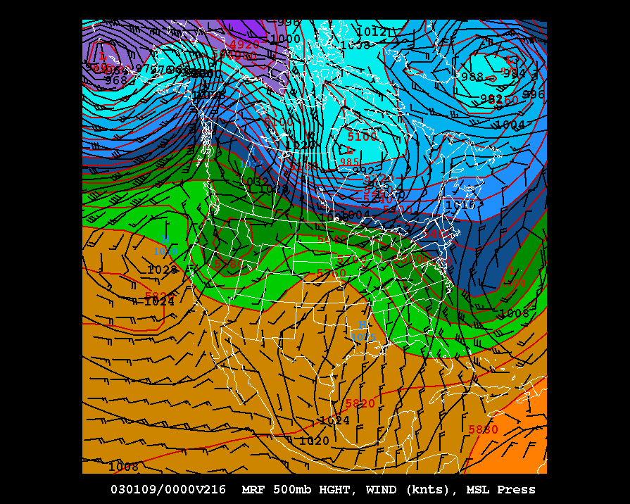
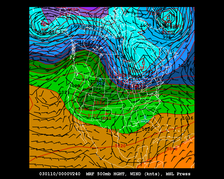
- MRF Day 4 Forecast
- MRF Day 5 Forecast
- MRF Day 6 Forecast
- MRF Day 7 Forecast
- MRF Day 8 Forecast
- MRF Day 9 Forecast
- MRF Day 10 Forecast
Paul's Favorite Products
Revised: 11 Oct 1996
Send comments and suggestions to:
Doug Yarger (doug@iastate.edu) or
Pete Boysen (pboysen@iastate.edu)
Copyright © 1996,
 Iowa State University, All Rights reserved