|
|
Upper air maps display what type of conditions exist above the surface of the earth. These will become more useful throughout the semester. Look at them now to see how they compare with the surface maps. Solid contours are similar to isobars. Winds are depicted similarly to the surface maps. |
|
|
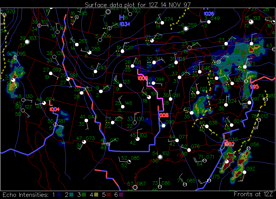
Surface maps give weather conditions at the map time indicated. Lows, highs, fronts, and precipitation are depicted on these maps. In addition specific station data is plotted for several station models. |
|
|
Four different types of model output are displayed here. The first is a statistical forecast of temperatures for the following day. The second is the model forecasted surface map (low, highs, and isobars). The third is the forecast for one of the upper air maps. The final is the model forecasted precipitation. Each of these is valid in 12-hour increments from the initial time (which in this case is 6 AM on this day). |