Upper Air Data
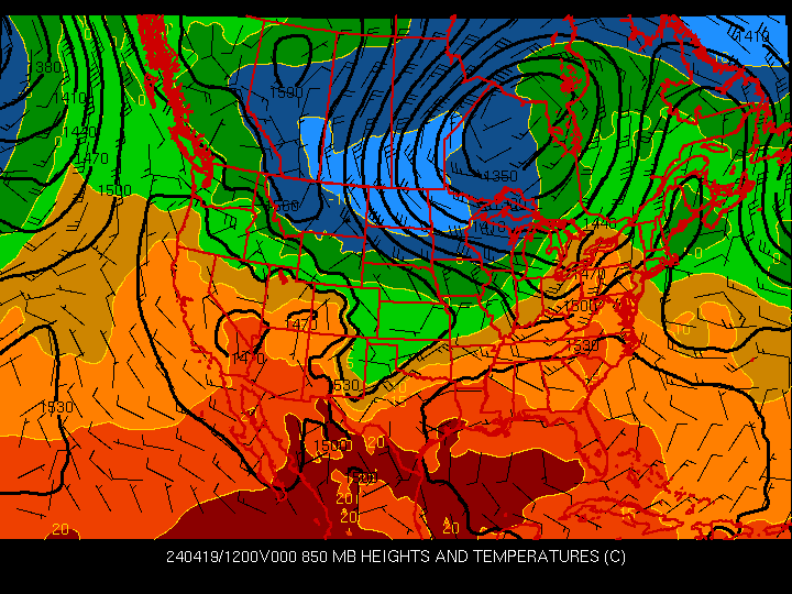
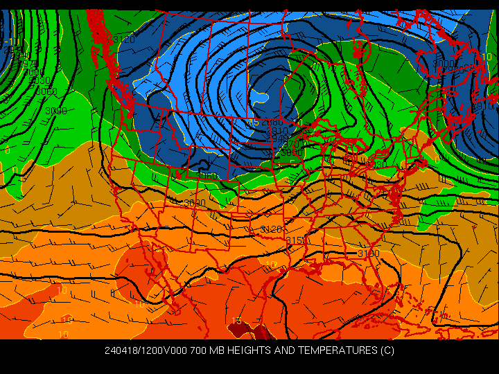
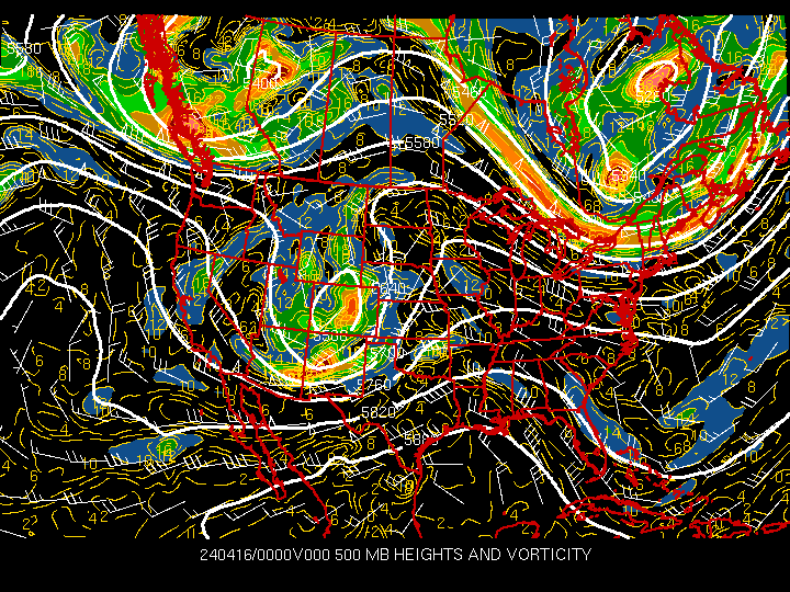
Upper air data is invaluable to forecasters. It shows the current tendencies of the weather. Things like the jet stream can be seen on the 300 and 200 mb analysis. mb means millibar. A millibar is a description of height in terms of pressure. The higher up you go in the atmosphere, the lower the pressure is. The surface is considered to be at around 1000 mb.
Things like Skew-T's give us graphical description of the atmosphere. Lots of clues about what is going on and what could happen can be obtained by looking at a Skew-T plot.
Upper Air Data from Iowa State University
Upper Air Data from NCAR
4-Panel AGL Wind Profilers Plot
4-Panel MSL Wind Profilers Plot
GOES Soundings Data from NESDIS
GOES Derived 850mb Relative Humidity
GOES Derived 700mb Relative Humidity
GOES Derived 500mb Relative Humidity